

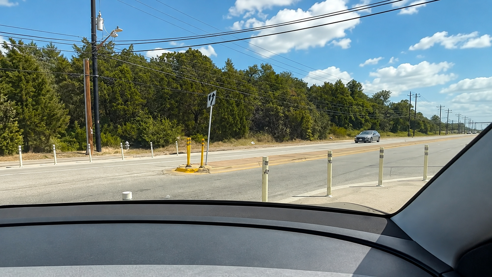
Take a look at this. A Tesla Robotaxi in Austin pauses, seems to reconsider a right-hand turn through some bollards, and then decides: “I’m just gonna send it.”
Take a look at this. A Tesla Robotaxi in Austin pauses, seems to reconsider a right-hand turn through some bollards, and then decides: “I’m just gonna send it.”
I wonder if it might also include outdated maps and this is newer infrastructure?
Still not an excuse, it should have seen it and not crossed the white line, but maybe it had conflicting info and chose wrong?
I actually looked into that…!
The Google Maps interface lets you see when the street was imaged. It’s been that way since 2024, at least. A helpful Redditor shared the link to it.
https://maps.app.goo.gl/VZRjSc325Kg7Vpq17
I’m bad as an automotive journalist. What I lack in skill, I make up for with effort and comedic timing
Oh wow, that’s cool. I didn’t know they had date stamps on it like that. Definitely more than enough time to have updated the maps, especially since I believe Tesla uses data from google for navigation.