

It’s not exactly the same, but I can vouch for StreetComplete being an incredibly good/similar game. You walk around the real world, and the app points out missing data in OpenStreetMap that you can fill in easily. You get the dopamine of a number going up, help dethrone proprietary map dominamce, and get some good excercise in in the process.
Up is exactly the direction I like numbers to go!
You want the murder rate number to go up?!??
Is it on iPhone too? I only see an Android version.
StreetComplete is Android only, but last I heard Go Map!! for iOS was trying to add a similar “quest” functionality to that found in SC.
Is the map data federated?
That’d be awful for me, my primary use of google maps is streetview to figure out what places look like before I go there
You wouldn’t be stuck with the fog, you would be able to toggle it on and off. The purpose is to make it obvious which areas you’ve already seen, so that you can know which areas of the world you still have yet to explore!
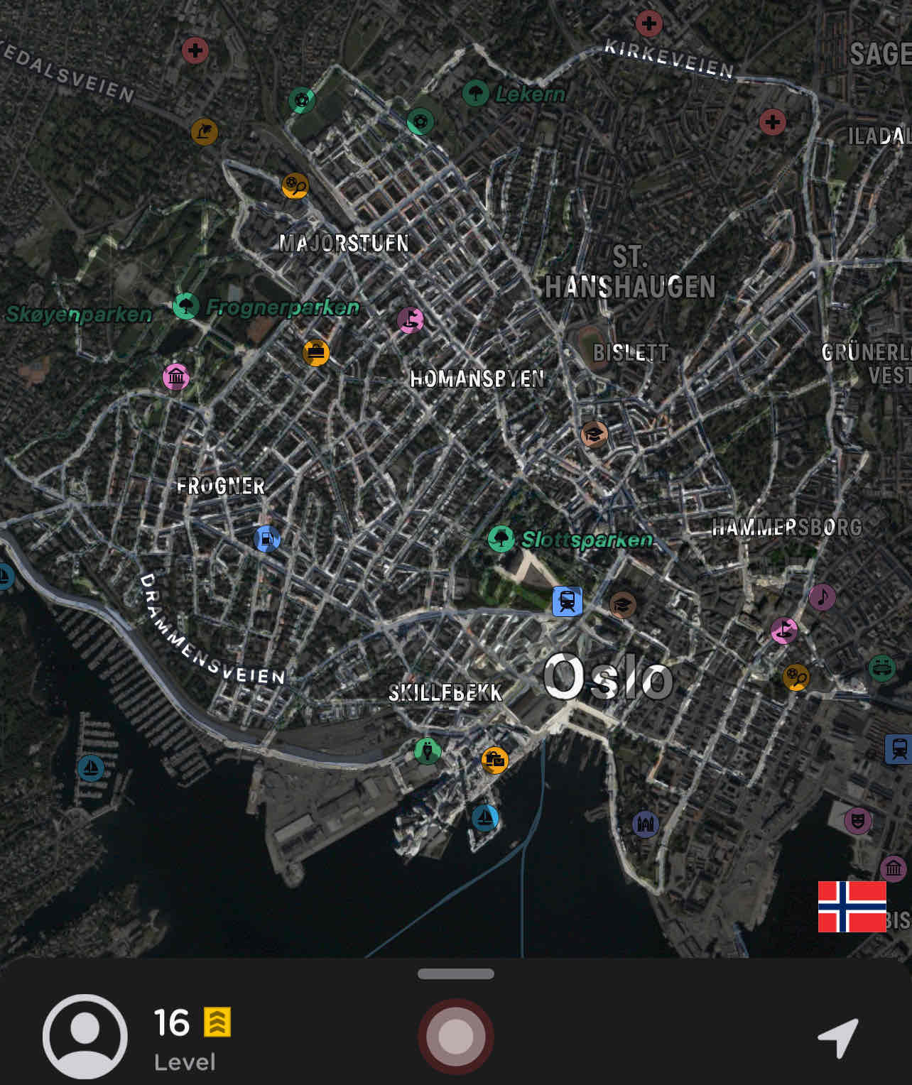
There’s an app for that, Fog of World.
Here’s my map.
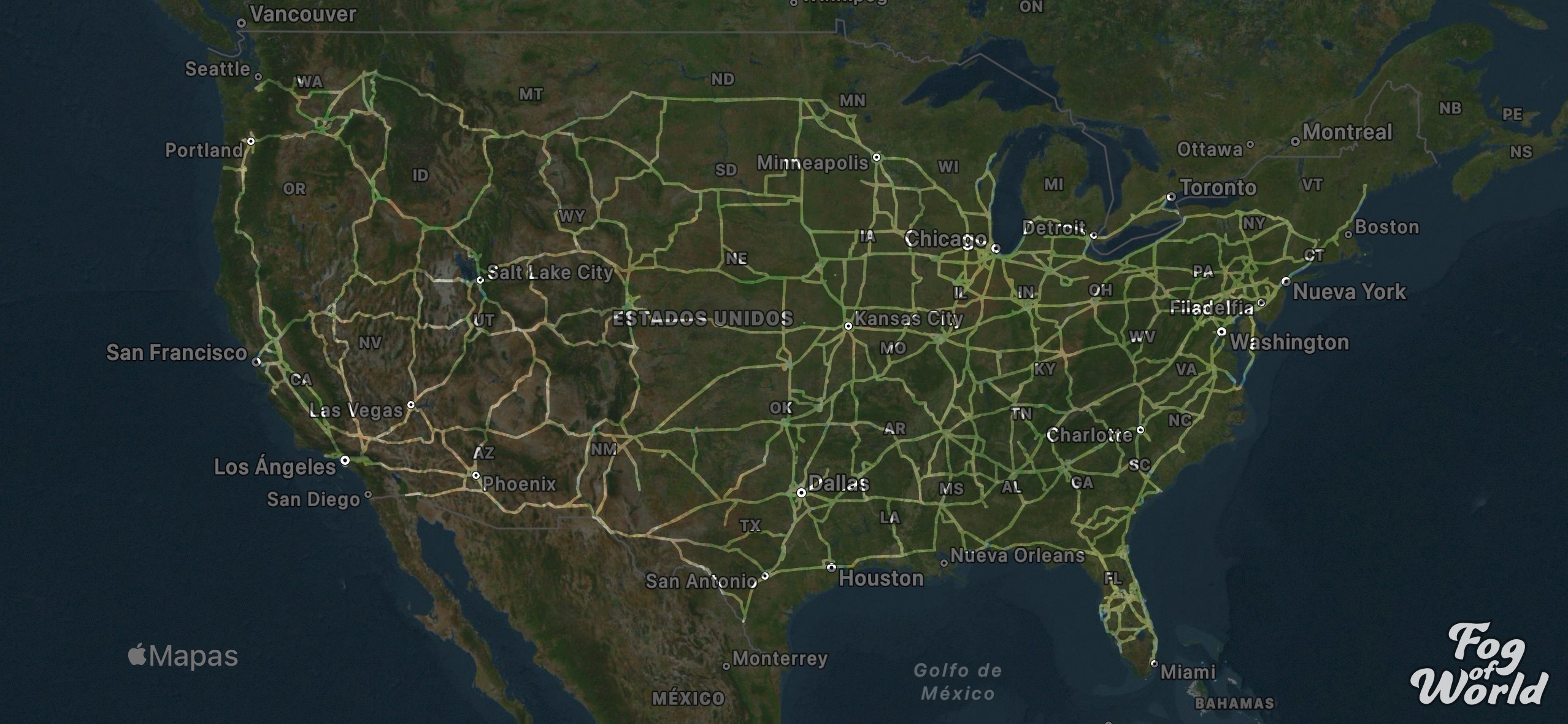
Damn, that looks impressive! I’m guessing truck driver? 😄
Correct. Most of it took a year and a half before I got a job that keeps me home every night. Hit all 48 contiguous states except Vermont (I tried to avoid the northeast whenever possible)
Any reason why? I’m just curious.
Also… starts playing Johnny Cash
More traffic, and way less truck parking. If you’re not shut down by 4pm forget about it.
Out west I got longer loads, better views, and always somewhere to park outside of the cities. Midwest is okay but a bit boring, southeast isn’t much better than northeast.
Midwest is okay but a bit boring
Flat dirt isn’t very interesting? Clutches pearls
Makes sense. Thanks for the explanation
$30 on android?!
The price of privacy?
They are selling your data anyway. The $30 covers their costs to market your data to advertisers.
Nah on this app you actually back up the data yourself by hooking into one of your personal cloud storage accounts
Its a nice idea , but I will hate the way these tech giants choose to implement it. 99% of implementation would need location to be tracked 24x7 and stored in their server . If someone would have a local or private way to do this , I’m exited.
I would normally agree with you, but I ran across the privacy policy while looking at the app. Plus it looks like you get to choose which cloud service to sync with.

Wow they actually do it locally and aren’t in the data selling game. I might end up paying for it just to support these guys.
I kind of do that but in reverse with Google Maps Timeline and Strava heat maps. I can see where I’ve been and where I haven’t been so far.
I guess if someone has their location history something like this wouldn’t be too hard to accomplish.
There is an app. Fog of the world is the name. Havent tried it personally.
That seems really interesting, but not $30 app interesting.
It works great! When I was on paternity leave and went out for walks with the baby in the stroller every day, it was a bit boring to just walk the same route each time. I downloaded the Fog of world app and set my self the goal of walking every meter of every street in my part of town before the end of my leave. That made it much more fun, buuuuut I haven’t used it after that…
The app looks so good, but it’s 35€
You know, I would really like to try this.
You can see this in Waze if you open the map editor. you can only edit a certain radius around where you’ve been, so your editable area is like a fog of war.
Do you need to have used Waze? Or does it pull from my Google maps data?
So… how do you open the map editor these days? I used Waze and added roads and stuff back in the day before Google bought it, but I just opened the app and can’t seem to get back into that “mode”. Sorry for the dumb question…
Play Pikmin Bloom. It does exactly this, and can track your step counts/location in the background.
You folks actually leave the house? Impressive!
This is reposted all the time and the answer has kept being: Pikmin Bloom. It’s F2P, you reveal the areas you physically visit and the rest of the map is grey. It’ll track your steps and location in the background, so all you have to do is have your phone on you.
I would visit every corner of the world trying to find all the loot and collectables
Everyone in this thread should try geocaching! It is really fun
Saving for later
Everytime somebody of your family or friends is inside the known area there should be an alert: reinforcement has arrived.
Or an alert about new options if you unfog a new building like a restaurant.Stop giving Google ideas on how to track us even more.

They already have this data for most people. This could already be a thing
Oh no, not a visual representation of data they already have as a matter of course by the very nature of a map app or GPS!
deleted by creator
My map would look really sad
Removed by mod
I had an idea where I would walk in a radius of few kilometers and walk on every street, etc. I wonder how long would it take, lol.
Someone make an app for that :P
CityStrides! It gets very confused if you don’t actually live in a city, ours wants us to complete our entire county, but it’s still fun anyway.
Did this dude fast travel? Like why are there separated clear areas on the bottom left and bottom right?
Gotta hold the map in your off-hand while traveling or it won’t autocomplete
Rookie mistake
What are subways?
Disguised loading screens?
Whoa didn’t know the map was layered, so the subway opens up the underground layer?
Yes, with secret missions and drugs and hookers. Tunnel snakes rule!
Ok this, but on geoguessr would be fire
gta v map menu but irl


